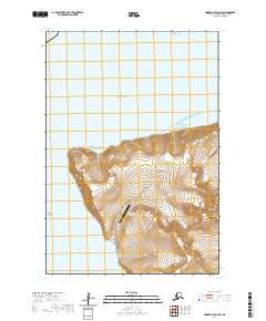
2020 Map of Hooper Bay D-3 SW
USGS Topo · Published 2020About this map
Cape Romanzof dominates this coastal landscape where the steep elevations of Towak Mtn meet the waters of the Bering Sea. The sheet is centered on the Cape Romanzof Long Range Radar Site, a critical cold-war era installation that remains a prominent landmark in the Kusilvak Census Area. This remote maritime environment is defined by its dramatic shoreline, from the sheltered waters of Windy Cove to the expansive Kokechik Bay in the south. The drainage patterns of Nilumat Cr and Kauviaknak Cr carve through the high ground, while Aniktun Island sits just offshore, highlighting the intersection of strategic defense infrastructure and the raw geography of the Alaska coast.
Find a feature on this map
15 named features on this map. Tap any name to fly to it.
Don’t see what you’re looking for? This feature index may not catch every label — zoom into the map to look around manually.
Map Details
Editions of this 2020 Hooper Bay D-3 SW Map
This is the sole edition of this map. No revisions or reprints were ever made.
Other maps of this area

1951 · Hooper Bay
USGS Topo · 1:250,000
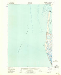
1952 · Hooper Bay C-4
USGS Topo · 1:63,360

1952 · Hooper Bay C-3
USGS Topo · 1:63,360

1953 · Hooper Bay
USGS Topo · 1:250,000
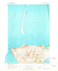
1953 · Hooper Bay D-3
USGS Topo · 1:63,360

1964 · Hooper Bay
USGS Topo · 1:250,000
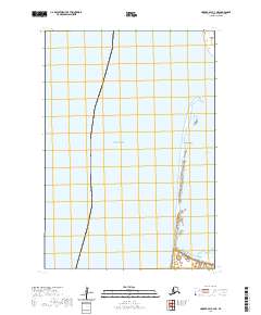
2020 · Hooper Bay C-4 NE
USGS Topo · 1:25,000
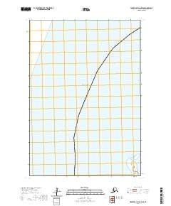
2020 · Hooper Bay D-3 OE W SE
USGS Topo · 1:25,000
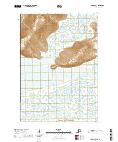
2020 · Hooper Bay C-3 NE
USGS Topo · 1:25,000
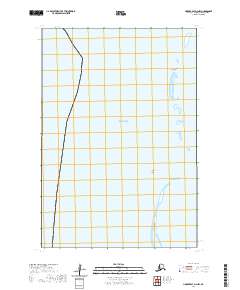
2020 · Hooper Bay D-3 NW
USGS Topo · 1:25,000