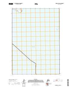
2020 Map of Hooper Bay B-3 NW
USGS Topo · Published 2020About this map
Hooper Bay dominates the northern shoreline of this coastal Alaskan landscape, where the waters of the Bering Sea meet the low-lying terrain of the Kusilvak region. The map emphasizes the narrow coastal landforms of the area, most notably the sandy reach of Nuok Spit extending into the bay. This 2020 study documents a remote and delicate environment where the land-water interface is the primary geographic feature, primarily defined by maritime boundaries rather than human infrastructure or dense settlement. The sheet serves as a detailed record of the tidal reaches and coastal contours that characterize this portion of the Yukon-Kuskokwim Delta.
Find a feature on this map
6 named features on this map. Tap any name to fly to it.
Don’t see what you’re looking for? This feature index may not catch every label — zoom into the map to look around manually.
Map Details
Editions of this 2020 Hooper Bay B-3 NW Map
This is the sole edition of this map. No revisions or reprints were ever made.
Other maps of this area

1951 · Hooper Bay
USGS Topo · 1:250,000
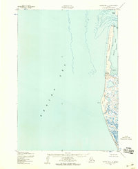
1952 · Hooper Bay C-4
USGS Topo · 1:63,360
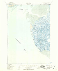
1952 · Hooper Bay B-3
USGS Topo · 1:63,360

1952 · Hooper Bay C-3
USGS Topo · 1:63,360

1953 · Hooper Bay
USGS Topo · 1:250,000

1964 · Hooper Bay
USGS Topo · 1:250,000
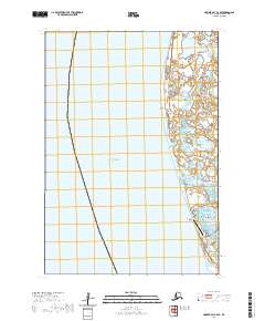
2020 · Hooper Bay C-4 SE
USGS Topo · 1:25,000
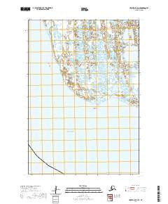
2020 · Hooper Bay B-3 SE
USGS Topo · 1:25,000
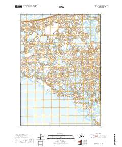
2020 · Hooper Bay C-3 SE
USGS Topo · 1:25,000
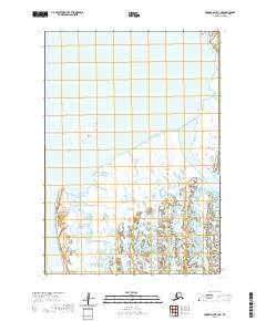
2020 · Hooper Bay B-3 NE
USGS Topo · 1:25,000