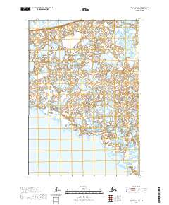
2020 Map of Hooper Bay C-3 SE
USGS Topo · Published 2020About this map
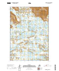
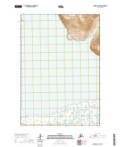
Hooper Bay dominates the southwestern corner of this coastal Alaska landscape, where the tides of the Bering Sea meet a complex network of wetlands and tundra. The region is defined by its intricate hydrography, characterized by the Komoiarak Slough winding through the northeastern reaches. This 2020 survey provides a detailed view of the Public Land Survey System divisions, including t18n r92w, t18n r91w, t17n r92w, and t17n r91w, which organize the seemingly trackless expanse of the Kusilvak Census Area. The lack of established roads or permanent settlements within these particular township lines underscores the remote, natural state of the Yukon-Kuskokwim Delta, where the landscape is shaped primarily by water and seasonal change rather than industrial development.
Find a feature on this map
8 named features on this map. Tap any name to fly to it.
Don’t see what you’re looking for? This feature index may not catch every label — zoom into the map to look around manually.
Map Details
Editions of this 2020 Hooper Bay C-3 SE Map
This is the sole edition of this map. No revisions or reprints were ever made.
Other maps of this area

1951 · Hooper Bay
USGS Topo · 1:250,000
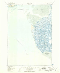
1952 · Hooper Bay B-3
USGS Topo · 1:63,360

1952 · Hooper Bay C-3
USGS Topo · 1:63,360

1953 · Hooper Bay
USGS Topo · 1:250,000
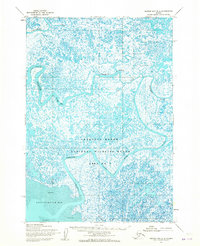
1953 · Hooper Bay B-2
USGS Topo · 1:63,360

1953 · Hooper Bay C-2
USGS Topo · 1:63,360

1964 · Hooper Bay
USGS Topo · 1:250,000
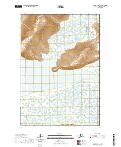
2020 · Hooper Bay C-3 NE
USGS Topo · 1:25,000
2020 · Hooper Bay C-2 NW
USGS Topo · 1:25,000
2020 · Hooper Bay C-3 NW
USGS Topo · 1:25,000