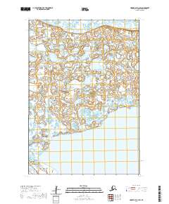
2020 Map of Hooper Bay C-3 SW
USGS Topo · Published 2020About this map
Hooper Bay sits at the center of this coastal landscape, serving as a focal point for the surrounding marshlands and waterways of the Kusilvak Census Area. The settlement is anchored by the Hooper Bay Courthouse and connected to the local aviation infrastructure via Airport Road and Uniaq Rd. This 2020 survey captures a highly dynamic environment where the land and water are inextricably linked, characterized by the winding path of the Naparea-yak Slough as it cuts through the terrain. To the south, the protective form of Nuok Spit marks the boundary between the mainland and the coastal waters, a critical feature for understanding the physical geography and navigational history of the region. The map details the precise township and range divisions, such as t17n r93w, which provide a formal structure to this remote section of the Alaska coast.
Find a feature on this map
12 named features on this map. Tap any name to fly to it.
Don’t see what you’re looking for? This feature index may not catch every label — zoom into the map to look around manually.
Map Details
Editions of this 2020 Hooper Bay C-3 SW Map
This is the sole edition of this map. No revisions or reprints were ever made.
Other maps of this area

1951 · Hooper Bay
USGS Topo · 1:250,000
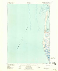
1952 · Hooper Bay C-4
USGS Topo · 1:63,360
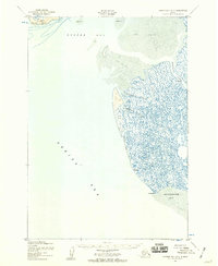
1952 · Hooper Bay B-3
USGS Topo · 1:63,360

1952 · Hooper Bay C-3
USGS Topo · 1:63,360

1953 · Hooper Bay
USGS Topo · 1:250,000

1964 · Hooper Bay
USGS Topo · 1:250,000
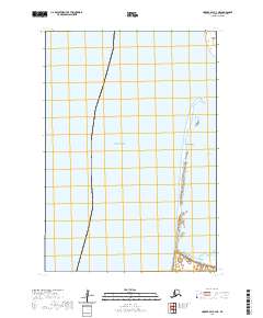
2020 · Hooper Bay C-4 NE
USGS Topo · 1:25,000
2020 · Hooper Bay C-4 SE
USGS Topo · 1:25,000
2020 · Hooper Bay C-3 NE
USGS Topo · 1:25,000
2020 · Hooper Bay C-3 SE
USGS Topo · 1:25,000