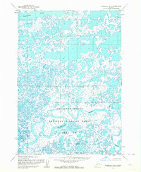
1953 Map of Marshall B-8
USGS Topo · Published 1964About this map
The Clarence Rhode National Wildlife Range Area No 1 dominates this mid-century survey of the Yukon-Kuskokwim Delta region. This landscape is a complex labyrinth of tundra and water, defined by the winding paths of the Kashunuk River and the Clarence Rhode River. Photogrammetric methods from the early 1950s reveal an intricate network of countless unnamed ponds and sloughs that surround the Manokinak River and Azun River. An Indefinite Boundary cuts across the center of the sheet, highlighting the unsurveyed and unmarked nature of the land lines predetermined by the Bureau of Land Management during this era. The map serves as a primary record of this coastal Alaskan wetland before modern shifts in hydrology and climate further altered the delta's face.
Find a feature on this map
6 named features on this map. Tap any name to fly to it.
Don’t see what you’re looking for? This feature index may not catch every label — zoom into the map to look around manually.
Map Details
Editions of this 1953 Marshall B-8 Map
2 editions found
Other maps of this area

1951 · Marshall
USGS Topo · 1:250,000

1951 · Hooper Bay
USGS Topo · 1:250,000

1952 · Marshall C-7
USGS Topo · 1:63,360
1952 · Marshall C-8
USGS Topo · 1:63,360
1952 · Hooper Bay C-1
USGS Topo · 1:63,360

1953 · Hooper Bay
USGS Topo · 1:250,000
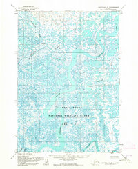
1953 · Hooper Bay B-1
USGS Topo · 1:63,360

1953 · Marshall B-7
USGS Topo · 1:63,360
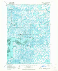
1954 · Marshall A-8
USGS Topo · 1:63,360
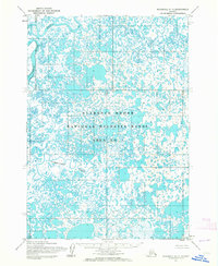
1954 · Marshall A-7
USGS Topo · 1:63,360