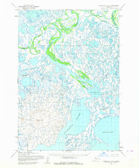
1952 Map of Marshall C-8
USGS Topo · Published 1964About this map
The Kashunuk River dominates this portion of the Yukon-Kuskokwim Delta, where a maze of distributaries and wetlands create an intricate hydrologic pattern. This 1952 study, based on aerial photography from the Army Map Service, captures the braided character of the delta before significant modern environmental changes. Large water bodies like Nuigalak Lake and Nanvaranak Choa anchor the eastern landscape, while the Nushkolik Mtn provides a rare point of elevation in the southwestern corner. The intricate waterway system, including the Kokechik River, Piyukenuk River, and the curiously named Wrong Creek, illustrates the complex drainage of this coastal region. This map serves as a primary record of the seasonal water channels and landscape features of the Alaska interior during the mid-century period.
Find a feature on this map
8 named features on this map. Tap any name to fly to it.
Don’t see what you’re looking for? This feature index may not catch every label — zoom into the map to look around manually.
Map Details
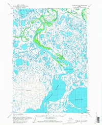
Editions of this 1952 Marshall C-8 Map
2 editions found
Other maps of this area

1951 · Marshall
USGS Topo · 1:250,000

1951 · Hooper Bay
USGS Topo · 1:250,000
1952 · Hooper Bay D-1
USGS Topo · 1:63,360

1952 · Marshall C-7
USGS Topo · 1:63,360
1952 · Marshall D-7
USGS Topo · 1:63,360
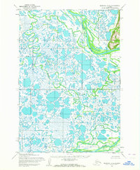
1952 · Marshall D-8
USGS Topo · 1:63,360
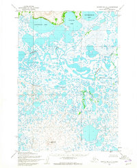
1952 · Hooper Bay C-1
USGS Topo · 1:63,360

1953 · Hooper Bay
USGS Topo · 1:250,000
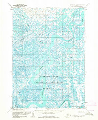
1953 · Hooper Bay B-1
USGS Topo · 1:63,360
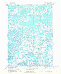
1953 · Marshall B-8
USGS Topo · 1:63,360