
1952 Map of Marshall C-7
USGS Topo · Published 1964About this map
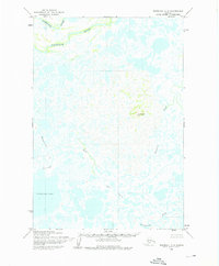
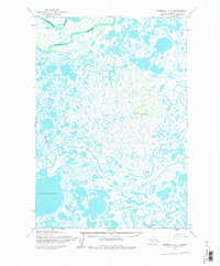
Kashunuk River meanders across this northern section of the Yukon-Kuskokwim Delta, defining a landscape of complex water systems and marshes as documented in the early 1950s. The terrain is characterized by an intricate network of unnamed ponds and smaller channels, including the curious Wrong Creek and the meandering Nungatak. These features reflect the shifting hydrology of the region before significant modern changes. To the south, the expansive Nuigalak Lake dominates the horizon, serving as a primary landmark in a region where land and water are constantly intertwined. This survey, compiled by the Army Map Service, utilizes photogrammetric methods from aerial photography to record the state of this remote Alaskan wilderness during a period of expanding scientific mapping in the territory.
Find a feature on this map
5 named features on this map. Tap any name to fly to it.
Don’t see what you’re looking for? This feature index may not catch every label — zoom into the map to look around manually.
Map Details
Editions of this 1952 Marshall C-7 Map
3 editions found
Other maps of this area

1951 · Marshall
USGS Topo · 1:250,000

1952 · Marshall C-6
USGS Topo · 1:63,360
1952 · Marshall D-7
USGS Topo · 1:63,360

1952 · Marshall D-6
USGS Topo · 1:63,360
1952 · Marshall D-8
USGS Topo · 1:63,360
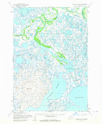
1952 · Marshall C-8
USGS Topo · 1:63,360
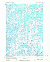
1953 · Marshall B-8
USGS Topo · 1:63,360

1953 · Marshall B-6
USGS Topo · 1:63,360

1953 · Marshall B-7
USGS Topo · 1:63,360

1954 · Marshall
USGS Topo · 1:250,000