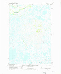
1952 Map of Marshall C-7
USGS Topo · Published 1976About this map
The Kashunuk River meanders across the northern reaches of this coastal Alaskan landscape, defining a complex delta environment where water and land are nearly indistinguishable. Mapping conducted by the Army Map Service in the early 1950s reveals a wilderness dominated by intricate hydraulic networks, including the Manokinak River and the significant basin of Nuigalak Lake. The terrain is remarkably flat, with Kochilagok Hill providing one of the few prominent topographic markers in an area otherwise characterized by sweeping waterways like Cross Slough and Nungatak.
Find a feature on this map
8 named features on this map. Tap any name to fly to it.
Don’t see what you’re looking for? This feature index may not catch every label — zoom into the map to look around manually.
Map Details
Editions of this 1952 Marshall C-7 Map
3 editions found
Other maps of this area

1951 · Marshall
USGS Topo · 1:250,000

1952 · Marshall C-7
USGS Topo · 1:63,360

1952 · Marshall C-6
USGS Topo · 1:63,360
1952 · Marshall D-7
USGS Topo · 1:63,360

1952 · Marshall D-6
USGS Topo · 1:63,360
1952 · Marshall D-8
USGS Topo · 1:63,360
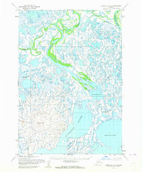
1952 · Marshall C-8
USGS Topo · 1:63,360
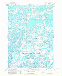
1953 · Marshall B-8
USGS Topo · 1:63,360

1953 · Marshall B-6
USGS Topo · 1:63,360

1953 · Marshall B-7
USGS Topo · 1:63,360