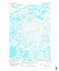
1952 Map of Marshall C-7
USGS Topo · Published 1983About this map
The Manokinak River and the meandering channels of the Yukon-Kuskokwim Delta dominate this 1952 topographic survey. The landscape is a complex labyrinth of water and tundra, characterized by the broad expanse of Nuigalak Lake and the winding course of the Kashunuk River. This map captures a remote Alaskan wilderness before modern infrastructure reached the region, showing the natural drainage patterns of Nungatak River and the curiously named Wrong Creek.
Find a feature on this map
9 named features on this map. Tap any name to fly to it.
Don’t see what you’re looking for? This feature index may not catch every label — zoom into the map to look around manually.
Map Details
Editions of this 1952 Marshall C-7 Map
3 editions found
Other maps of this area

1951 · Marshall
USGS Topo · 1:250,000

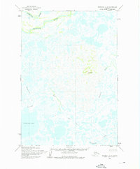
1952 · Marshall C-7
USGS Topo · 1:63,360

1952 · Marshall C-6
USGS Topo · 1:63,360
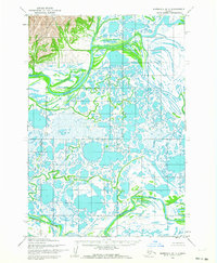
1952 · Marshall D-7
USGS Topo · 1:63,360

1952 · Marshall D-6
USGS Topo · 1:63,360
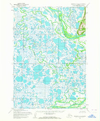
1952 · Marshall D-8
USGS Topo · 1:63,360
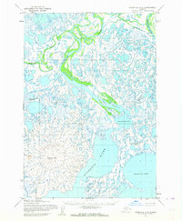
1952 · Marshall C-8
USGS Topo · 1:63,360
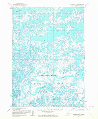
1953 · Marshall B-8
USGS Topo · 1:63,360

1953 · Marshall B-6
USGS Topo · 1:63,360

1953 · Marshall B-7
USGS Topo · 1:63,360