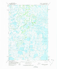
1952 Map of Marshall C-6
USGS Topo · Published 1975About this map
Kgun Lake and a labyrinthine network of tundra waterways dominate this landscape in the Yukon-Kuskokwim Delta as it was recorded during the mid-1950s. The region is defined by its complex aquatic geography, where the Manokinak River and the Nungatak River meander through countless unnamed ponds and wetlands. This 1952 study, based on 1951 and 1955 aerial photography by the Army Map Service, captures the area before modern infrastructure was introduced; notably, the margin notes state that no roads or trails existed in the area at the time of publication. The land lines shown represent unsurveyed and unmarked locations predetermined by the Bureau of Land Management, reflecting the remote nature of this Alaskan interior during the early post-war era.
Find a feature on this map
3 named features on this map. Tap any name to fly to it.
Don’t see what you’re looking for? This feature index may not catch every label — zoom into the map to look around manually.
Map Details
Editions of this 1952 Marshall C-6 Map
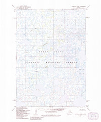
3 editions found
Other maps of this area

1951 · Marshall
USGS Topo · 1:250,000

1952 · Marshall D-5
USGS Topo · 1:63,360

1952 · Marshall C-7
USGS Topo · 1:63,360

1952 · Marshall C-6
USGS Topo · 1:63,360

1952 · Marshall C-5
USGS Topo · 1:63,360
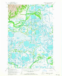
1952 · Marshall D-7
USGS Topo · 1:63,360

1952 · Marshall D-6
USGS Topo · 1:63,360

1953 · Marshall B-6
USGS Topo · 1:63,360

1953 · Marshall B-7
USGS Topo · 1:63,360

1953 · Marshall B-5
USGS Topo · 1:63,360