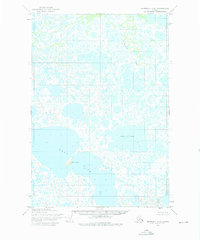
1952 Map of Marshall C-5
USGS Topo · Published 1976About this map
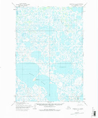
Kgun Lake and Kingaglia Lake dominate the landscape of this mid-century topographic survey in western Alaska. The terrain is characterized by an intricate network of countless smaller lakes and ponds typical of the Yukon-Kuskokwim Delta region. Flowing through the northern section, Chakaktolik Creek winds through the wetlands, while Taktusak Hill provides a rare point of elevation along the southern shore of the larger water bodies. This 1952 field-annotated map provides a look at the hydrography of the area before modern environmental changes, including the unsurveyed and unmarked land lines predetermined by the Bureau of Land Management across the expansive marshland.
Find a feature on this map
7 named features on this map. Tap any name to fly to it.
Don’t see what you’re looking for? This feature index may not catch every label — zoom into the map to look around manually.
Map Details
Editions of this 1952 Marshall C-5 Map
3 editions found
Other maps of this area

1951 · Marshall
USGS Topo · 1:250,000

1952 · Marshall D-5
USGS Topo · 1:63,360

1952 · Marshall D-4
USGS Topo · 1:63,360

1952 · Marshall C-6
USGS Topo · 1:63,360

1952 · Marshall C-5
USGS Topo · 1:63,360

1952 · Marshall D-6
USGS Topo · 1:63,360

1953 · Marshall B-6
USGS Topo · 1:63,360

1953 · Marshall B-5
USGS Topo · 1:63,360

1954 · Marshall B-4
USGS Topo · 1:63,360

1954 · Marshall C-4
USGS Topo · 1:63,360