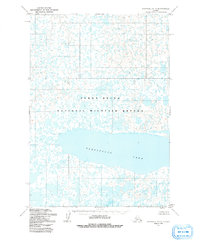
1954 Map of Marshall A-3
USGS Topo · Published 1981About this map
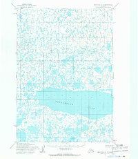
Takslesluk Lake dominates the southern half of this landscape, a significant freshwater feature within the expansive wetlands of the Yukon Delta National Wildlife Refuge. Surveyed in the early 1950s using photogrammetric methods from aerial photographs, the map reveals a complex mosaic of tundra ponds, small lakes, and waterlogged terrain. This specific environment highlights the unique hydrology of the Yukon-Kuskokwim Delta region before modern development, where the absence of roads and settlements emphasizes the primacy of the natural water systems. The intricate network of nameless lakes and marshes surrounding Takslesluk Lake illustrates the seasonal shifting of water across this low-lying Alaskan coastal plain.
Find a feature on this map
2 named features on this map. Tap any name to fly to it.
Don’t see what you’re looking for? This feature index may not catch every label — zoom into the map to look around manually.
Map Details
Editions of this 1954 Marshall A-3 Map
3 editions found
Other maps of this area

1951 · Marshall
USGS Topo · 1:250,000

1951 · Baird Inlet
USGS Topo · 1:250,000

1954 · Marshall B-4
USGS Topo · 1:63,360

1954 · Marshall B-3
USGS Topo · 1:63,360

1954 · Marshall A-2
USGS Topo · 1:63,360

1954 · Marshall A-3
USGS Topo · 1:63,360
1954 · Marshall B-2
USGS Topo · 1:63,360
1954 · Marshall A-4
USGS Topo · 1:63,360

1954 · Marshall
USGS Topo · 1:250,000

1954 · Baird Inlet
USGS Topo · 1:250,000