1954 Map of Marshall A-3
USGS Topo · Published 1971About this map
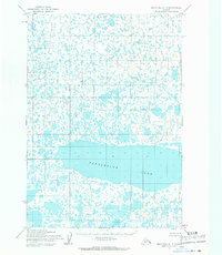
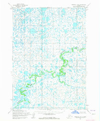
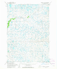
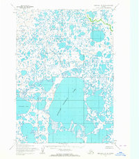
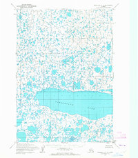
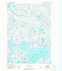
Takslesluk Lake dominates the lower central portion of this 1954 survey, stretching across several townships in a complex network of wetlands and tundra. The landscape is defined by an intricate pattern of thousands of small, unnamed lakes and interconnected waterways that suggest a low-lying, seasonally shifting environment. While primarily wilderness, the map reveals a meticulously surveyed grid of township and range lines established by the Bureau of Land Management, providing a framework for understanding land tenure in this part of the Alaskan interior during the mid-twentieth century. The absence of roads or established settlements at the time of the 1954 field annotation highlights the remote character of this terrain, where water remains the primary geographical feature of note.
Find a feature on this map
6 named features on this map. Tap any name to fly to it.
Don’t see what you’re looking for? This feature index may not catch every label — zoom into the map to look around manually.
Map Details
Editions of this 1954 Marshall A-3 Map
3 editions found

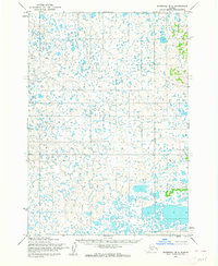
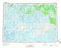
Other maps of this area

1951 · Marshall
USGS Topo · 1:250,000

1951 · Baird Inlet
USGS Topo · 1:250,000
1954 · Marshall B-4
USGS Topo · 1:63,360
1954 · Marshall B-3
USGS Topo · 1:63,360
1954 · Marshall A-2
USGS Topo · 1:63,360
1954 · Marshall A-3
USGS Topo · 1:63,360
1954 · Marshall B-2
USGS Topo · 1:63,360
1954 · Marshall A-4
USGS Topo · 1:63,360
1954 · Marshall
USGS Topo · 1:250,000

1954 · Baird Inlet
USGS Topo · 1:250,000