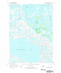
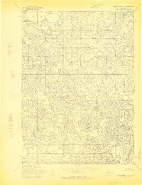
1954 Map of Baird Inlet D-2
USGS Topo · Published 1983About this map
Nunavakpak Lake dominates the southern reaches of this landscape, its expansive waters meeting a complex network of tundra wetlands and waterways. The northern half of the region is defined by the winding course of the Johnson River and the large Kyigayalik Lake. Native settlements and traditional sites such as Kasigluk, Nunapitchuk, and Nunachuk are centered around the river bends, showing a clear reliance on the aquatic system for both transit and resources. A Winter Trail connects these communities, tracing a route across the frozen landscape north of the river. The presence of a Cem and the Kvigatluk (Site) provide specific points of interest for genealogists and historians looking at the mid-century footprint of these Alaska Native villages.
Find a feature on this map
10 named features on this map. Tap any name to fly to it.
Don’t see what you’re looking for? This feature index may not catch every label — zoom into the map to look around manually.
Map Details
Editions of this 1954 Baird Inlet D-2 Map
2 editions found
Other maps of this area

1951 · Marshall
USGS Topo · 1:250,000

1951 · Baird Inlet
USGS Topo · 1:250,000

1954 · Marshall A-2
USGS Topo · 1:63,360

1954 · Marshall A-3
USGS Topo · 1:63,360

1954 · Marshall A-1
USGS Topo · 1:63,360

1954 · Marshall
USGS Topo · 1:250,000

1954 · Baird Inlet
USGS Topo · 1:250,000
1954 · Baird Inlet C-1
USGS Topo · 1:63,360
1954 · Baird Inlet D-1
USGS Topo · 1:63,360
1954 · Baird Inlet C-2
USGS Topo · 1:63,360