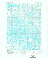
1954 Map of Baird Inlet C-2
USGS Topo · Published 1983About this map
Nunavakpak L sits in the northern reaches of this coastal landscape, a region defined by an intricate network of wetlands and tidal drainage. The 1954 fieldwork captures the natural state of the delta before significant modern alterations, showing the winding course of the Kutukhun River as it meanders through the marshy terrain. The presence of the Merotuk River in the southwestern quadrant further illustrates the complex hydrology of this part of Alaska, where the land and water are constantly in flux. Without roads or trails recorded during this mid-century survey, the map preserves the raw, unpopulated character of the tundra as it existed for generations of indigenous hunters and travelers who relied entirely on these waterways for navigation.
Find a feature on this map
3 named features on this map. Tap any name to fly to it.
Don’t see what you’re looking for? This feature index may not catch every label — zoom into the map to look around manually.
Map Details
Editions of this 1954 Baird Inlet C-2 Map
3 editions found
Other maps of this area

1951 · Baird Inlet
USGS Topo · 1:250,000

1954 · Baird Inlet
USGS Topo · 1:250,000

1954 · Baird Inlet B-1
USGS Topo · 1:63,360
1954 · Baird Inlet C-1
USGS Topo · 1:63,360
1954 · Baird Inlet D-1
USGS Topo · 1:63,360
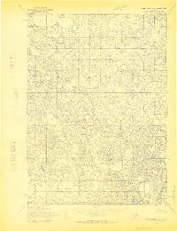
1954 · Baird Inlet C-2
USGS Topo · 1:63,360
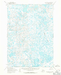
1954 · Baird Inlet C-3
USGS Topo · 1:63,360

1954 · Baird Inlet B-3
USGS Topo · 1:63,360
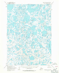
1954 · Baird Inlet D-3
USGS Topo · 1:63,360
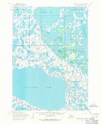
1954 · Baird Inlet D-2
USGS Topo · 1:63,360