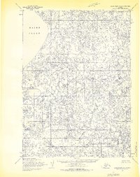
1954 Map of Baird Inlet C-4
USGS Topo · Published 1970About this map
Baird Inlet dominates the western coastline of this 1950s survey, representing a vast, labyrinthine network of tundra lakes and coastal wetlands. The landscape is characterized by a dense mosaic of unnamed water bodies, reflecting the intricate hydrology of the Yukon-Kuskokwim Delta region. The Chukwukwalik River meanders through the southeastern portion of the quadrangle, serving as a primary drainage for the countless ponds and sloughs that define the terrain. Prepared by the Army Map Service using 1952 aerial photography, this map documents the pre-development state of the Alaskan wilderness. The land lines shown here represent predetermined locations from the Bureau of Land Management, marking the early efforts to organize this remote territory for future survey and administrative use within the Seward Meridian.
Find a feature on this map
5 named features on this map. Tap any name to fly to it.
Don’t see what you’re looking for? This feature index may not catch every label — zoom into the map to look around manually.
Map Details
Editions of this 1954 Baird Inlet C-4 Map
3 editions found
Other maps of this area

1951 · Baird Inlet
USGS Topo · 1:250,000
1953 · Baird Inlet C-5
USGS Topo · 1:63,360

1953 · Baird Inlet D-5
USGS Topo · 1:63,360

1953 · Baird Inlet B-5
USGS Topo · 1:63,360

1954 · Baird Inlet
USGS Topo · 1:250,000
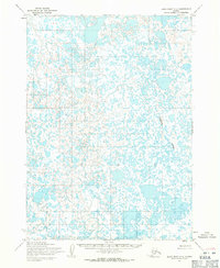
1954 · Baird Inlet C-3
USGS Topo · 1:63,360

1954 · Baird Inlet B-3
USGS Topo · 1:63,360
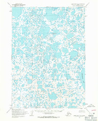
1954 · Baird Inlet D-3
USGS Topo · 1:63,360
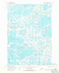
1954 · Baird Inlet D-4
USGS Topo · 1:63,360
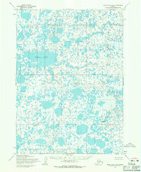
1954 · Baird Inlet B-4
USGS Topo · 1:63,360