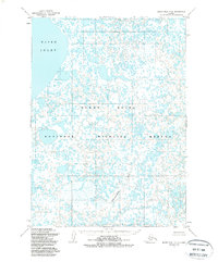
1954 Map of Baird Inlet C-4
USGS Topo · Published 1988About this map
Yukon Delta National Wildlife Refuge encompasses this immense, water-saturated landscape, defined by an intricate network of thousands of small lakes and ponds. Based on aerial photography from 1952 and field annotations from 1954, the map documents the complex hydrologic character of the tundra before more recent environmental shifts. The northwest corner is dominated by the expansive waters of Baird Inlet, while the Chakwugwahlik River meanders through the southern portion of the quadrangle. This mid-century survey illustrates a region void of roads or permanent settlements, emphasizing the natural state of the delta's wetland systems. The terrain is nearly flat, with contour lines spaced at 50-foot intervals and dashed 25-foot intervals, highlighting how even minor shifts in elevation dictate the flow of water across this vast alluvial plain.
Find a feature on this map
3 named features on this map. Tap any name to fly to it.
Don’t see what you’re looking for? This feature index may not catch every label — zoom into the map to look around manually.
Map Details
Editions of this 1954 Baird Inlet C-4 Map
3 editions found
Other maps of this area

1951 · Baird Inlet
USGS Topo · 1:250,000
1953 · Baird Inlet C-5
USGS Topo · 1:63,360

1953 · Baird Inlet D-5
USGS Topo · 1:63,360

1953 · Baird Inlet B-5
USGS Topo · 1:63,360

1954 · Baird Inlet
USGS Topo · 1:250,000
1954 · Baird Inlet C-4
USGS Topo · 1:63,360
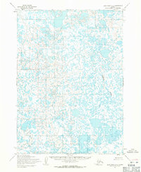
1954 · Baird Inlet C-3
USGS Topo · 1:63,360

1954 · Baird Inlet B-3
USGS Topo · 1:63,360
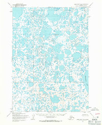
1954 · Baird Inlet D-3
USGS Topo · 1:63,360
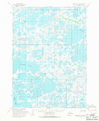
1954 · Baird Inlet D-4
USGS Topo · 1:63,360