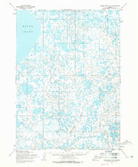
1954 Map of Baird Inlet C-4
USGS Topo · Published 1971About this map
Baird Inlet defines the western margin of this subarctic landscape, where a sprawling complex of unnamed tundra lakes and ponds dominates the terrain. This 1954 survey by the Army Map Service reveals a coastal wilderness largely devoid of permanent settlements or infrastructure, characterized by its intricate hydrology. The Chakwugwahlik River meanders across the southern portion of the sheet, serving as the primary drainage artery for the dense network of water bodies. Most of the land lines shown were predetermined by the Bureau of Land Management rather than established by ground survey, reflecting the area's remote status in the mid-20th century. This map captures the region's natural state before any modern development or major shifts in the coastal shoreline occurred.
Find a feature on this map
2 named features on this map. Tap any name to fly to it.
Don’t see what you’re looking for? This feature index may not catch every label — zoom into the map to look around manually.
Map Details
Editions of this 1954 Baird Inlet C-4 Map
3 editions found
Other maps of this area

1951 · Baird Inlet
USGS Topo · 1:250,000
1953 · Baird Inlet C-5
USGS Topo · 1:63,360

1953 · Baird Inlet D-5
USGS Topo · 1:63,360

1953 · Baird Inlet B-5
USGS Topo · 1:63,360

1954 · Baird Inlet
USGS Topo · 1:250,000
1954 · Baird Inlet C-4
USGS Topo · 1:63,360
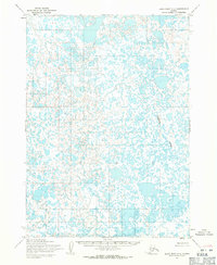
1954 · Baird Inlet C-3
USGS Topo · 1:63,360

1954 · Baird Inlet B-3
USGS Topo · 1:63,360
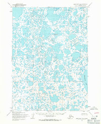
1954 · Baird Inlet D-3
USGS Topo · 1:63,360
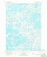
1954 · Baird Inlet D-4
USGS Topo · 1:63,360