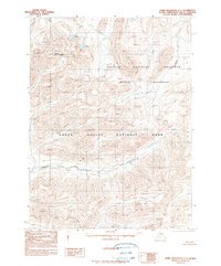
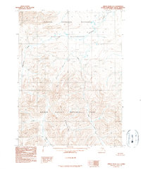
1990 Map of Baird Mountains C-1
USGS Topo · Published 1990About this map
The Tutuksuk River flows across this remote stretch of the Arctic, marking a significant drainage between the high peaks of the Kobuk Valley National Park and the expansive Noatak National Preserve Wilderness. This 1990 provisional survey, based on aerial photography from the late 1970s, documents a landscape largely devoid of human infrastructure, defined instead by the towering presence of Mount Angayukaqtaq and the subtle course of Nantelik Creek. The map reflects a period of heightened federal preservation in the Northwest Arctic Borough following the Alaska National Interest Lands Conservation Act. It serves as a stark topographic record of the transition between protected parklands and wilderness areas, where elevation contours and watercourses remain the only landmarks in a region with no established roads or trails.
Find a feature on this map
5 named features on this map. Tap any name to fly to it.
Don’t see what you’re looking for? This feature index may not catch every label — zoom into the map to look around manually.
Map Details
Editions of this 1990 Baird Mountains C-1 Map
This is the sole edition of this map. No revisions or reprints were ever made.
Other maps of this area

1951 · Baird Mountains
USGS Topo · 1:250,000

1951 · Ambler River
USGS Topo · 1:250,000

1956 · Ambler River
USGS Topo · 1:250,000

1956 · Baird Mountains
USGS Topo · 1:250,000

1964 · Ambler River
USGS Topo · 1:250,000

1965 · Baird Mountains
USGS Topo · 1:250,000
1990 · Ambler River B-6
USGS Topo · 1:63,360
1990 · Ambler River D-6
USGS Topo · 1:63,360
1990 · Baird Mountains B-1
USGS Topo · 1:63,360
1990 · Ambler River C-6
USGS Topo · 1:63,360