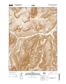
2015 Map of Baird Mountains D-1 SE
USGS Topo · Published 2015About this map
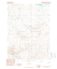
Noatak National Preserve defines this Arctic landscape, where the high-altitude terrain is shaped by the drainage patterns of the Baird Mountains. The map provides a detailed view of the remote Northwest Arctic Borough, centered on the headwaters of Aklumayuak Cr and the winding course of Nanielik Creek. This region is characterized by steep contour gradients and high-relief topography, typical of the mountainous Brooks Range foothills. The absence of roads or permanent settlements emphasizes the protected wilderness character of the preserve, while the public land survey system grid, including townships like t28n r2w, reveals how this vast northern territory is systematically partitioned for federal management.
Find a feature on this map
9 named features on this map. Tap any name to fly to it.
Don’t see what you’re looking for? This feature index may not catch every label — zoom into the map to look around manually.
Map Details
Editions of this 2015 Baird Mountains D-1 SE Map
This is the sole edition of this map. No revisions or reprints were ever made.
Other maps of this area

1951 · Baird Mountains
USGS Topo · 1:250,000

1951 · Ambler River
USGS Topo · 1:250,000

1956 · Ambler River
USGS Topo · 1:250,000

1956 · Baird Mountains
USGS Topo · 1:250,000

1964 · Ambler River
USGS Topo · 1:250,000

1965 · Baird Mountains
USGS Topo · 1:250,000
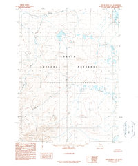
1990 · Ambler River D-6
USGS Topo · 1:63,360
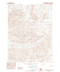
1990 · Baird Mountains C-1
USGS Topo · 1:63,360
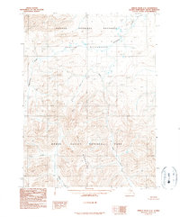
1990 · Ambler River C-6
USGS Topo · 1:63,360
1990 · Baird Mountains D-1
USGS Topo · 1:63,360