
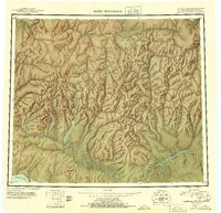
1951 Map of Baird Mountains
USGS Topo · Published 1951About this map
The Brooks Range and the Baird Mountains dominate this early 1950s reconnaissance, capturing a wilderness landscape defined by the parallel courses of the Noatak River and the Kobuk River. Small-scale resource extraction and essential transportation routes are documented along the river corridors, where a Winter Trail connects isolated outposts. Industrial activity is concentrated at the Klery Creek mining site and a Coal Mine situated near the banks of the Kobuk.
Find a feature on this map
27 named features on this map. Tap any name to fly to it.
Don’t see what you’re looking for? This feature index may not catch every label — zoom into the map to look around manually.
Map Details
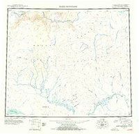
Editions of this 1951 Baird Mountains Map
3 editions found
Other maps of this area

1951 · De Long Mountains
USGS Topo · 1:250,000

1951 · Selawik
USGS Topo · 1:250,000

1951 · Shungnak
USGS Topo · 1:250,000

1951 · Noatak
USGS Topo · 1:250,000

1951 · Kotzebue
USGS Topo · 1:250,000

1951 · Howard Pass
USGS Topo · 1:250,000

1951 · Ambler River
USGS Topo · 1:250,000

1951 · Misheguk Mountain
USGS Topo · 1:250,000

1951 · Kotzebue D-1
USGS Topo · 1:63,360

1951 · Selawik D-6
USGS Topo · 1:63,360