
1955 Map of Baker
USGS Topo · Published 1964About this map
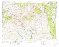
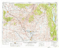
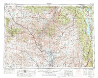
Baker stands as the primary hub in this mid-century look at the borderlands of eastern Oregon and western Idaho, where the Snake River carves a deep boundary through high mountain ranges. The legacy of westward migration is literally marked by the Oregon Trail Memorial Monument, while the industrial footprint of the era is visible in the Virtue Mine and the extensive network of the Union Pacific Railroad. To the north, the Wallowa Mountains and Seven Devils Mountains rise sharply above the river, which is already beginning to transform under the weight of hydroelectric development with the Brownlee Reservoir and Oxbow Reservoir appearing along its course. The map details a landscape of transition, from the irrigated agricultural settlements of Ontario, Nyssa, and Payette in the south to the mining and timber outposts of Homestead and Copperfield further north.
Find a feature on this map
99 named features on this map. Tap any name to fly to it.
Don’t see what you’re looking for? This feature index may not catch every label — zoom into the map to look around manually.
Map Details
Editions of this 1955 Baker Map
4 editions found
Other maps of this area

1892 · Boise
USGS Topo · 1:125,000

1894 · Squaw Creek
USGS Topo · 1:125,000

1894 · Idaho Basin
USGS Topo · 1:125,000

1897 · Boise
USGS Topo · 1:125,000

1897 · Weiser
USGS Topo · 1:125,000

1898 · Nampa
USGS Topo · 1:125,000

1901 · Baker City
USGS Topo · 1:125,000

1901 · Sumpter
USGS Topo · 1:125,000

1906 · Mitchell Butte
USGS Topo · 1:125,000

1906 · Telocaset
USGS Topo · 1:125,000