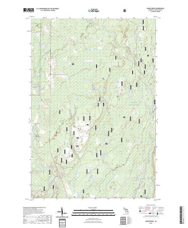
2023 Map of Baker Creek
USGS Topo · Published 2023About this map
The Hiawatha National Forest landscape within Delta County is defined by an intricate network of waterways draining toward the Great Lakes. This modern survey illustrates a heavily forested and wetland-rich environment where the West Branch Whitefish River and Rapid River serve as primary geographical anchors. The presence of the Dutch Mill Cem along the western edge offers a specific point of interest for genealogists tracing local families in this rural Upper Peninsula territory.
Find a feature on this map
26 named features on this map. Tap any name to fly to it.
Don’t see what you’re looking for? This feature index may not catch every label — zoom into the map to look around manually.
Map Details
Editions of this 2023 Baker Creek Map
This is the sole edition of this map. No revisions or reprints were ever made.
Other maps of this area

1932 · Gladstone NE
USGS Topo · 1:31,680

1932 · Rapid River NE
USGS Topo · 1:31,680

1932 · Trenary SW
USGS Topo · 1:31,680

1932 · Rock NE
USGS Topo · 1:31,680

1932 · Rapid River NW
USGS Topo · 1:31,680

1932 · Trenary SE
USGS Topo · 1:31,680

1932 · Rock SE
USGS Topo · 1:31,680

1954 · Escanaba
USGS Topo · 1:250,000

1957 · Escanaba
USGS Topo · 1:250,000

1958 · Escanaba
USGS Topo · 1:250,000