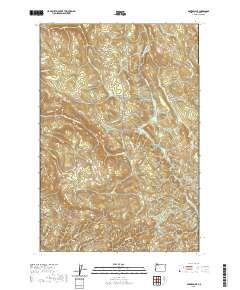
2020 Map of Baker Point
USGS Topo · Published 2020About this map
Wilark Pioneer Cem provides a focal point for genealogical interest in this upland portion of Columbia County. The landscape is defined by the headwaters of the Clatskanie River and the Little Clatskanie River, which carve through the timbered terrain south of the Columbia River valley. Prominent elevations such as Baker Point and Mt Cedara rise above a dense network of logging and access roads, including Apiary-Market Rd and Pittsburg-St Helens Rd. This 2020 survey illustrates a contemporary view of the region's managed forests, where water features like Titus Pond and the Fish Ponds dot the drainage basins of Oak Ranch Cr and Carcus Cr. The map's layout of section lines and range markers provides a clear framework for tracing land ownership and early 20th-century homestead locations in these forested hills.
Find a feature on this map
39 named features on this map. Tap any name to fly to it.
Don’t see what you’re looking for? This feature index may not catch every label — zoom into the map to look around manually.
Map Details
Editions of this 2020 Baker Point Map
This is the sole edition of this map. No revisions or reprints were ever made.
Other maps of this area

1919 · Mayger
USGS Topo · 1:62,500

1921 · Kalama
USGS Topo · 1:62,500

1922 · St. Helens
USGS Topo · 1:62,500

1940 · Vernonia
USGS Topo · 1:62,500

1941 · St Helens
USGS Topo · 1:62,500

1941 · Clatskanie
USGS Topo · 1:62,500

1943 · Vernonia
USGS Topo · 1:62,500

1943 · St Helens
USGS Topo · 1:62,500

1948 · Vancouver
USGS Topo · 1:250,000

1950 · Vancouver
USGS Topo · 1:250,000