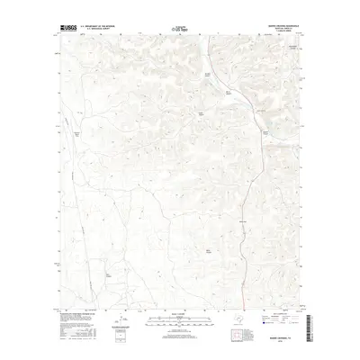
2016 Map of Bakers Crossing
USGS Topo · Published 2016About this map
The Devils River corridor defines the landscape of this section of Val Verde County, carving a path through a series of deep drainages. The settlement of Bakers Crossing sits along the river's edge, serving as a landmark in a terrain dominated by significant natural features like Harland Canyon, Hudson Canyon, and Burnt Canyon. These geographic names often hint at the early ranching families and events that shaped the local history of the Edwards Plateau region.
Find a feature on this map
13 named features on this map. Tap any name to fly to it.
Don’t see what you’re looking for? This feature index may not catch every label — zoom into the map to look around manually.
Map Details
Editions of this 2016 Bakers Crossing Map
This is the sole edition of this map. No revisions or reprints were ever made.
Other maps of this area

1943 · Shumla
USGS Topo · 1:62,500

1944 · Baker Crossing
USGS Topo · 1:62,500

1954 · Sonora
USGS Topo · 1:250,000

1958 · Sonora
USGS Topo · 1:250,000

1958 · Del Rio
USGS Topo · 1:250,000

1964 · Del Rio
USGS Topo · 1:250,000

1970 · Sycamore Canyon
USGS Topo · 1:24,000

1970 · Blue Hills
USGS Topo · 1:24,000

1970 · Deaton Draw
USGS Topo · 1:24,000
1979 · Telephone Canyon
USGS Topo · 1:24,000