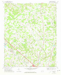
1971 Map of Bakers
USGS Topo · Published 1973About this map
Unionville and the surrounding crossroads of northern Union County define this landscape during the early 1970s. The map captures a transition toward modern connectivity with the Seaboard Coast Line railroad and Monroe Airport serving the region's transport needs. Despite this growth, the area remains deeply rooted in its local heritage, evidenced by the numerous country sanctuaries such as Union Grove Ch, Mill Grove Ch, and Watts Grove Ch.
Find a feature on this map
48 named features on this map. Tap any name to fly to it.
Don’t see what you’re looking for? This feature index may not catch every label — zoom into the map to look around manually.
Map Details
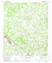
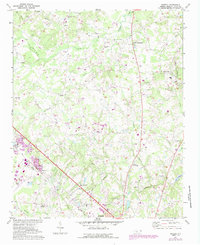
Editions of this 1971 Bakers Map
3 editions found
Other maps of this area

1941 · Charlotte
USGS Topo · 1:125,000

1941 · Spartanburg
USGS Topo · 1:250,000

1942 · Charlotte
USGS Topo · 1:125,000

1949 · Wilgrove
USGS Topo · 1:24,000

1949 · Midland
USGS Topo · 1:24,000

1953 · Spartanburg
USGS Topo · 1:250,000

1953 · Charlotte
USGS Topo · 1:250,000

1954 · Charlotte
USGS Topo · 1:250,000

1960 · Charlotte
USGS Topo · 1:250,000

1960 · Spartanburg
USGS Topo · 1:250,000