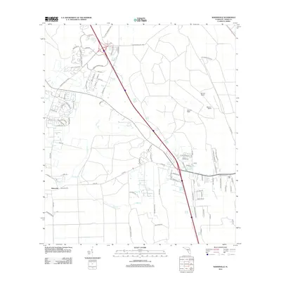
2012 Map of Bakersville
USGS Topo · Published 2012About this map
Bakersville anchors this Northeast Florida landscape during a period of significant suburban and commercial transition. Modern thoroughfares like the International Golf Pkwy and World Commerce Pkwy slice through the terrain, signaling the rapid development of the St. Johns area. Residential growth is evident in the dense street grids of subdivisions such as Casa Sevilla Ave and Porta Rosa Cir, which contrast sharply with the older, more dispersed patterns around the Bakersville Tower.
Find a feature on this map
82 named features on this map. Tap any name to fly to it.
Don’t see what you’re looking for? This feature index may not catch every label — zoom into the map to look around manually.
Map Details
Editions of this 2012 Bakersville Map
This is the sole edition of this map. No revisions or reprints were ever made.
Other maps of this area

1917 · Orange Park
USGS Topo · 1:62,500

1918 · Orange Park
USGS Topo · 1:62,500

1918 · Palm Valley
USGS Topo · 1:62,500

1937 · Bakersville
USGS Topo · 1:24,000

1937 · Elkton
USGS Topo · 1:24,000

1937 · Crescent Beach
USGS Topo · 1:24,000

1937 · St. Augustine
USGS Topo · 1:24,000

1943 · St. Augustine
USGS Topo · 1:62,500

1947 · Bostwick
USGS Topo · 1:50,000

1948 · Jacksonville
USGS Topo · 1:250,000