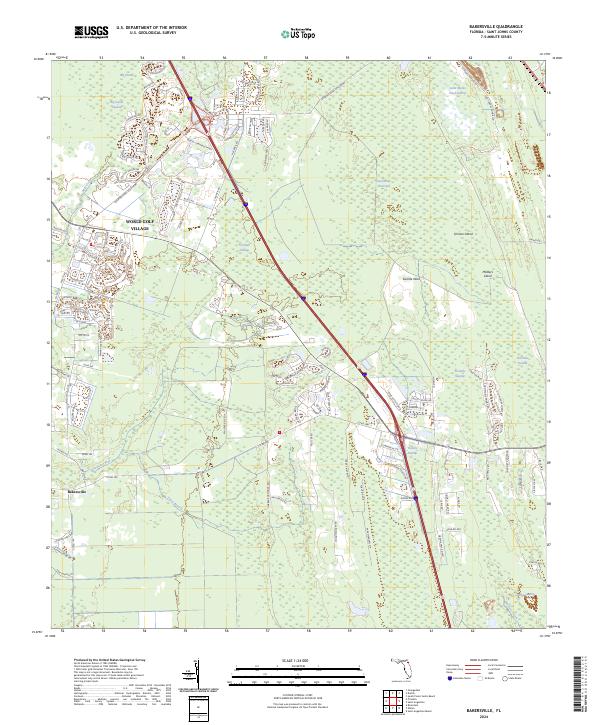
2024 Map of Bakersville
USGS Topo · Published 2024About this map
World Golf Village serves as a modern anchor in a region historically defined by its extensive wetlands and drainage networks. The landscape is a mosaic of massive hydrologic features, including Twelvemile Swamp and Sixmile Swamp, which dictate the spatial arrangement of roads and development. These vast wetland areas are punctuated by slightly higher elevations or clearings identified as islands, such as Masters Island and Simone Island, reflecting the traditional terminology used for navigable or dry land within the Florida interior.
Find a feature on this map
113 named features on this map. Tap any name to fly to it.
Don’t see what you’re looking for? This feature index may not catch every label — zoom into the map to look around manually.
Map Details
Editions of this 2024 Bakersville Map
This is the sole edition of this map. No revisions or reprints were ever made.
Other maps of this area

1917 · Orange Park
USGS Topo · 1:62,500

1918 · Orange Park
USGS Topo · 1:62,500

1918 · Palm Valley
USGS Topo · 1:62,500

1937 · Bakersville
USGS Topo · 1:24,000

1937 · Elkton
USGS Topo · 1:24,000

1937 · Crescent Beach
USGS Topo · 1:24,000

1937 · St. Augustine
USGS Topo · 1:24,000

1943 · St. Augustine
USGS Topo · 1:62,500

1947 · Bostwick
USGS Topo · 1:50,000

1948 · Jacksonville
USGS Topo · 1:250,000