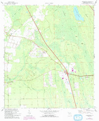
1970 Map of Bakersville
USGS Topo · Published 1992About this map
Bakersville and its surrounding wetlands dominate this 1970s landscape, illustrating a transition between established local settlements and the expansive natural drainage systems of St. Johns County. The map details an environment defined by water, where Twelvemile Swamp and Trestle Bay Swamp converge with smaller drainages like Mill Creek and Sixmile Creek. Human presence is marked by community cornerstones such as the Mill Creek Sch and the Glimpse of Glory church, alongside infrastructure including a Lookout Tower and a Radio Tower.
Find a feature on this map
26 named features on this map. Tap any name to fly to it.
Don’t see what you’re looking for? This feature index may not catch every label — zoom into the map to look around manually.
Map Details
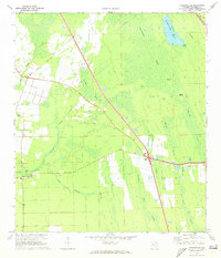
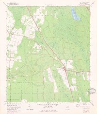
Editions of this 1970 Bakersville Map
3 editions found
Other maps of this area

1917 · Orange Park
USGS Topo · 1:62,500

1918 · Orange Park
USGS Topo · 1:62,500

1918 · Palm Valley
USGS Topo · 1:62,500

1937 · Bakersville
USGS Topo · 1:24,000

1937 · Elkton
USGS Topo · 1:24,000

1937 · Crescent Beach
USGS Topo · 1:24,000

1937 · St. Augustine
USGS Topo · 1:24,000

1943 · St. Augustine
USGS Topo · 1:62,500

1947 · Bostwick
USGS Topo · 1:50,000

1948 · Jacksonville
USGS Topo · 1:250,000