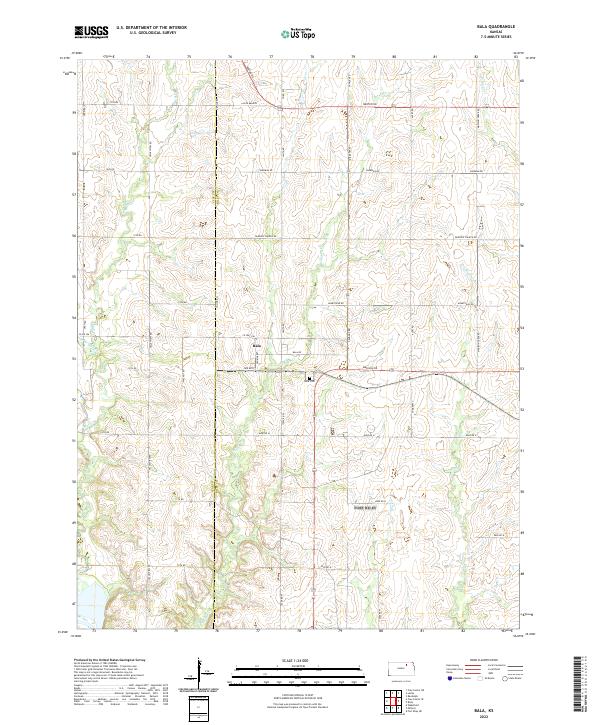
1963 Map of Bala
USGS Topo · Published 1978About this map
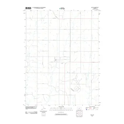
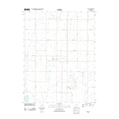
Bala stands as a central point of interest in this 1963 landscape, situated at the junction of the Chicago Rock Island and Pacific railroad and the rolling agricultural terrain of Riley County. The map provides a detailed view of local community life through features like the Bala Cem and Grange Hall, reflecting the social and commemorative foundations of this rural settlement. To the south and east, the Fort Riley Military Reservation encompasses a significant portion of the territory, illustrating the intersection of civilian farmland and federal military lands.
Find a feature on this map
20 named features on this map. Tap any name to fly to it.
Don’t see what you’re looking for? This feature index may not catch every label — zoom into the map to look around manually.
Map Details
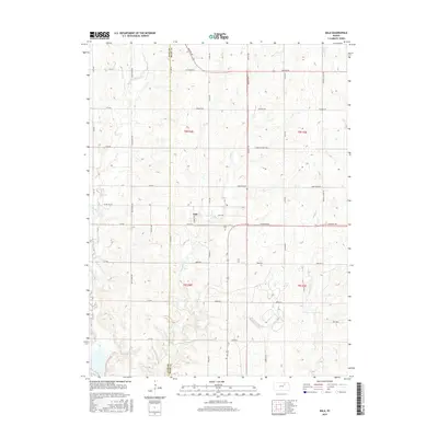
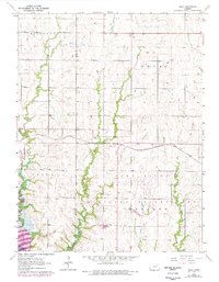
Editions of this 1963 Bala Map
2 editions found
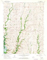
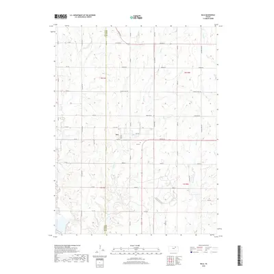
Historical Maps of Bala Through Time
6 maps found