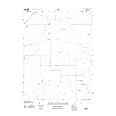
2012 Map of Bald Knob
USGS Topo · Published 2012About this map
Witt Cem and Armentrout Cem sit north of the rural landscape in Montgomery County, marking a region defined by agricultural traditions and localized aviation. The terrain is structured by a network of named trails and avenues, with E Fork Shoal Cr and Hurricane Cr providing the primary drainage. This 2012 survey captures the area's transition into the 21st century, where large-scale operations like the Eddington Dairy Farm operate alongside several private airfields, including the McNeely Landing Strip and the O K Flying Club Inc Airport. For the local historian, the map preserves the locations of numerous family-named burial grounds, such as Woodside Cem and Bost Hill Cem, which are key to tracing the genealogy of the families who settled this central Illinois farmland.
Find a feature on this map
60 named features on this map. Tap any name to fly to it.
Don’t see what you’re looking for? This feature index may not catch every label — zoom into the map to look around manually.
Map Details
Editions of this 2012 Bald Knob Map
This is the sole edition of this map. No revisions or reprints were ever made.
Other maps of this area

1944 · Ramsey
USGS Topo · 1:62,500

1946 · Ramsey
USGS Topo · 1:62,500

1946 · Nokomis
USGS Topo · 1:62,500

1947 · Pana
USGS Topo · 1:62,500

1947 · Hillsboro
USGS Topo · 1:62,500

1949 · Hillsboro
USGS Topo · 1:62,500

1949 · Nokomis
USGS Topo · 1:62,500

1949 · Pana
USGS Topo · 1:62,500

1958 · Decatur
USGS Topo · 1:250,000

1961 · Decatur
USGS Topo · 1:250,000