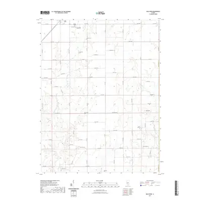
2021 Map of Bald Knob
USGS Topo · Published 2021About this map
The settlement of Witt sits at the northern edge of this Illinois landscape, serving as a focal point in a region defined by its numerous small burial grounds and winding creek systems. The concentrated presence of Saint Barbara's Catholic Cem, the Russian Orthodox Cem, and the Witt Cem near the town center speaks to the diverse community heritage established here. Further south, the terrain is marked by smaller family or local landmarks like the Armentrout Cem and Gooseneck Cem, often found on the rises near the waterways.
Find a feature on this map
19 named features on this map. Tap any name to fly to it.
Don’t see what you’re looking for? This feature index may not catch every label — zoom into the map to look around manually.
Map Details
Editions of this 2021 Bald Knob Map
This is the sole edition of this map. No revisions or reprints were ever made.
Other maps of this area

1944 · Ramsey
USGS Topo · 1:62,500

1946 · Ramsey
USGS Topo · 1:62,500

1946 · Nokomis
USGS Topo · 1:62,500

1947 · Pana
USGS Topo · 1:62,500

1947 · Hillsboro
USGS Topo · 1:62,500

1949 · Hillsboro
USGS Topo · 1:62,500

1949 · Nokomis
USGS Topo · 1:62,500

1949 · Pana
USGS Topo · 1:62,500

1958 · Decatur
USGS Topo · 1:250,000

1961 · Decatur
USGS Topo · 1:250,000