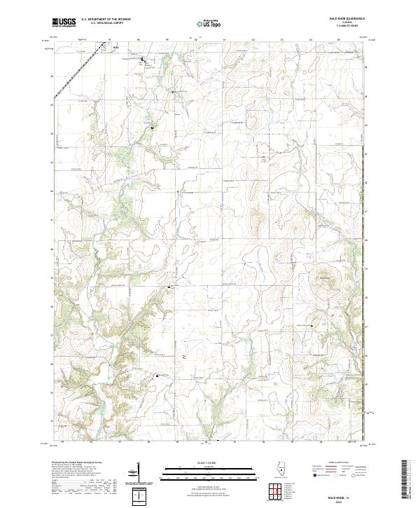
2024 Map of Bald Knob
USGS Topo · Published 2024About this map
East Fork Shoal Creek and Hurricane Creek define the agricultural landscape of this Montgomery County region, where the terrain rises to the distinct prominence of Bald Knob. The map reveals a cluster of burial sites that speak to the area's diverse cultural heritage, including the Russian Orthodox Cem and Saint Barbara's Catholic Cem near the northern border. These markers, alongside family-named sites like Armentrout Cem and Abner Casey Cem, provide significant data points for genealogists tracing early settlement patterns.
Find a feature on this map
67 named features on this map. Tap any name to fly to it.
Don’t see what you’re looking for? This feature index may not catch every label — zoom into the map to look around manually.
Map Details
Editions of this 2024 Bald Knob Map
This is the sole edition of this map. No revisions or reprints were ever made.
Other maps of this area

1944 · Ramsey
USGS Topo · 1:62,500

1946 · Ramsey
USGS Topo · 1:62,500

1946 · Nokomis
USGS Topo · 1:62,500

1947 · Pana
USGS Topo · 1:62,500

1947 · Hillsboro
USGS Topo · 1:62,500

1949 · Hillsboro
USGS Topo · 1:62,500

1949 · Nokomis
USGS Topo · 1:62,500

1949 · Pana
USGS Topo · 1:62,500

1958 · Decatur
USGS Topo · 1:250,000

1961 · Decatur
USGS Topo · 1:250,000