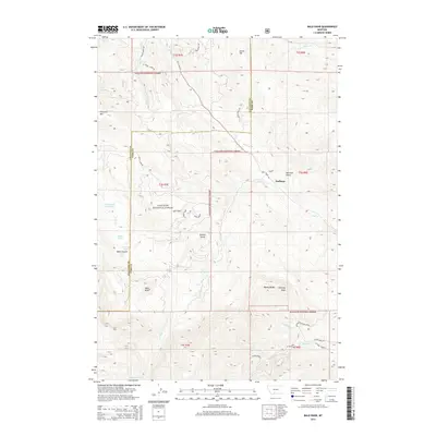
2014 Map of Bald Knob
USGS Topo · Published 2014About this map
Hoffman sits at the eastern edge of this landscape where the Gallatin and Park county lines meet within the expansive Gallatin National Forest. The terrain is defined by significant elevations and drainage systems, including the prominent peaks of Chestnut Mtn and the namesake Bald Knob. Water features are concentrated in the west and south, with Old Cooper Reservoir and a series of alpine waters like Crystal Lake, Bear Lakes, and Bear Canyon Pine Lake dotting the high country.
Find a feature on this map
39 named features on this map. Tap any name to fly to it.
Don’t see what you’re looking for? This feature index may not catch every label — zoom into the map to look around manually.
Map Details
Editions of this 2014 Bald Knob Map
This is the sole edition of this map. No revisions or reprints were ever made.
Other maps of this area

1891 · Livingston
USGS Topo · 1:250,000

1893 · Livingston
USGS Topo · 1:250,000

1947 · Bozeman
USGS Topo · 1:250,000

1948 · Bozeman
USGS Topo · 1:250,000

1951 · Bozeman Pass
USGS Topo · 1:62,500

1951 · Hoppers
USGS Topo · 1:24,000

1951 · Chimney Rock
USGS Topo · 1:24,000

1955 · Bozeman
USGS Topo · 1:250,000

1955 · Emigrant
USGS Topo · 1:62,500

1955 · Fridley Peak
USGS Topo · 1:62,500