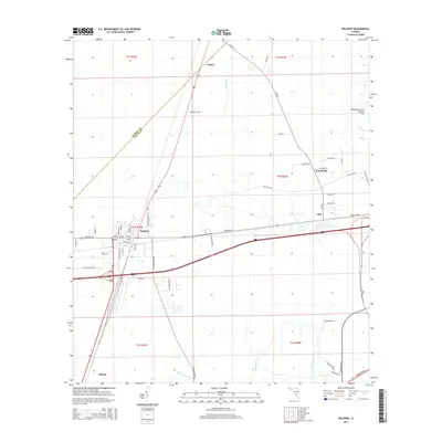
2015 Map of Baldwin
USGS Topo · Published 2015About this map
Baldwin serves as the central hub of this West Jacksonville landscape, where major transport corridors intersect near the boundary of Nassau and Duval Counties. The town's grid is bounded by Beaver Street West and Martin Luther King Jr Drive, reflecting its long-standing role as a crossroads for the region's rail and road networks. To the northeast, the Whitehouse Naval Outlying Field stands as a prominent military installation, while smaller communities like Tulane, Mandeville, and Otis are scattered along the rural routes of Otis Road and Old Plank Road. The terrain is defined by low-lying wetlands and drainage systems, including the headwaters of McGirts Creek and the meandering paths of Brandy Branch and Yellow Water Creek. These watercourses dictate the layout of the surrounding timberlands and agricultural plots that separate the distinct local settlements.
Find a feature on this map
51 named features on this map. Tap any name to fly to it.
Don’t see what you’re looking for? This feature index may not catch every label — zoom into the map to look around manually.
Map Details
Editions of this 2015 Baldwin Map
This is the sole edition of this map. No revisions or reprints were ever made.
Other maps of this area

1917 · Cambon
USGS Topo · 1:62,500

1917 · Macclenny
USGS Topo · 1:62,500

1918 · Middleburg
USGS Topo · 1:62,500

1918 · Lawtey
USGS Topo · 1:62,500

1918 · Cambon
USGS Topo · 1:62,500

1918 · Macclenny
USGS Topo · 1:62,500

1941 · Middleburg
USGS Topo · 1:62,500

1948 · Jacksonville
USGS Topo · 1:250,000

1949 · Fiftone
USGS Topo · 1:24,000

1949 · Jacksonville Heights
USGS Topo · 1:24,000