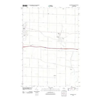
2010 Map of Baldwin East
USGS Topo · Published 2010About this map
Baldwin and Woodville anchor this detailed 2010 survey of Saint Croix County, showing the intersection of local transit and natural drainage in western Wisconsin. The landscape is defined by the winding paths of the Rush River in the north and the Eau Galle River in the southeast, which carve through a grid of numbered roads including 80th Ave and 250th St. This area reflects a classic Midwestern settlement pattern where small villages like Wildwood and Dahl sit among a network of rural cemeteries.
Find a feature on this map
39 named features on this map. Tap any name to fly to it.
Don’t see what you’re looking for? This feature index may not catch every label — zoom into the map to look around manually.
Map Details
Editions of this 2010 Baldwin East Map
This is the sole edition of this map. No revisions or reprints were ever made.
Other maps of this area

1946 · Knapp
USGS Topo · 1:62,500

1948 · Downing
USGS Topo · 1:62,500

1949 · Knapp
USGS Topo · 1:62,500

1949 · Baldwin
USGS Topo · 1:62,500

1950 · Downing
USGS Topo · 1:62,500

1950 · Deer Park
USGS Topo · 1:62,500

1953 · Saint Paul
USGS Topo · 1:250,000

1953 · Stillwater
USGS Topo · 1:250,000

1955 · Stillwater
USGS Topo · 1:250,000

1958 · Stillwater
USGS Topo · 1:250,000