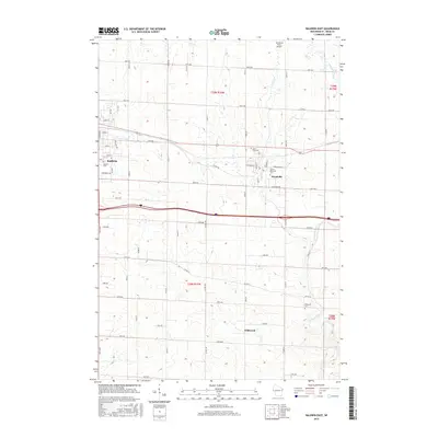
2015 Map of Baldwin East
USGS Topo · Published 2015About this map
Baldwin and Woodville serve as the primary population centers on this landscape, connected by a network of numbered avenues and county highways that speak to the region's agricultural development. The terrain is defined by the headwaters of the Eau Galle River and the winding course of Carr Cr, which carve through the undulating topography of Saint Croix County. Genealogists will find significant value in the distribution of local burial grounds, including Baldwin Cem, Lone Pine Cem, Sunset Memorial Cem, and Brookville Cem, many of which sit near established crossroads. The small settlement of Wildwood remains identified in the southern portion of the map, while the presence of the Windsong Farm Airport in the north adds a unique aviation landmark to this rural corridor during the mid-2010s.
Find a feature on this map
42 named features on this map. Tap any name to fly to it.
Don’t see what you’re looking for? This feature index may not catch every label — zoom into the map to look around manually.
Map Details
Editions of this 2015 Baldwin East Map
This is the sole edition of this map. No revisions or reprints were ever made.
Other maps of this area

1946 · Knapp
USGS Topo · 1:62,500

1948 · Downing
USGS Topo · 1:62,500

1949 · Knapp
USGS Topo · 1:62,500

1949 · Baldwin
USGS Topo · 1:62,500

1950 · Downing
USGS Topo · 1:62,500

1950 · Deer Park
USGS Topo · 1:62,500

1953 · Saint Paul
USGS Topo · 1:250,000

1953 · Stillwater
USGS Topo · 1:250,000

1955 · Stillwater
USGS Topo · 1:250,000

1958 · Stillwater
USGS Topo · 1:250,000