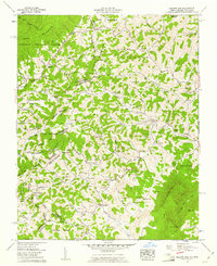
1959 Map of Baldwin Gap
USGS Topo · Published 1961About this map
Stone Mountain and Pond Mountain define the high terrain of this 1959 survey, where the border between Tennessee and North Carolina follows the Tennessee Valley Divide. In this portion of the Appalachian highlands, small settlements like Ashland and Creston are situated along the valley floor of the North Fork New River. The landscape is densely marked by the presence of numerous family cemeteries and mountain congregations, such as Rock Creek Baptist Church and Mountain View Ch, indicating a deeply rooted rural community structure.
Find a feature on this map
122 named features on this map. Tap any name to fly to it.
Don’t see what you’re looking for? This feature index may not catch every label — zoom into the map to look around manually.
Map Details
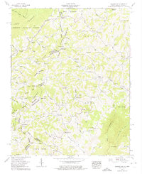
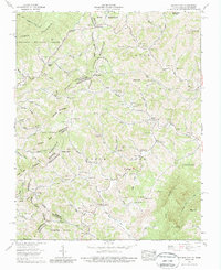
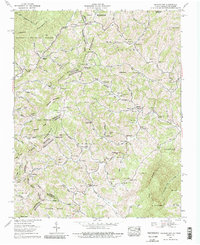
Editions of this 1959 Baldwin Gap Map
4 editions found
Other maps of this area

1891 · Abingdon
USGS Topo · 1:125,000

1893 · Cranberry
USGS Topo · 1:125,000

1894 · Abingdon
USGS Topo · 1:125,000

1895 · Cranberry
USGS Topo · 1:125,000

1899 · Cranberry
USGS Topo · 1:125,000

1902 · Cranberry
USGS Topo · 1:125,000

1909 · Abingdon
USGS Topo · 1:96,000

1911 · Abingdon
USGS Topo · 1:125,000

1935 · Grayson
USGS Topo · 1:24,000

1935 · Park
USGS Topo · 1:24,000