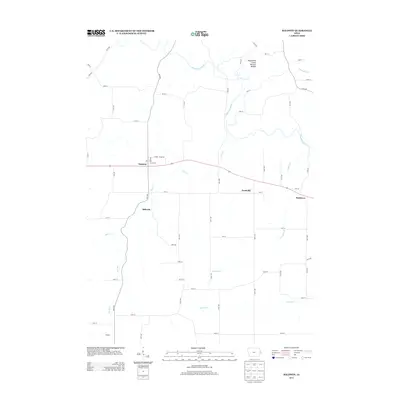
2013 Map of Baldwin
USGS Topo · Published 2013About this map
Maquoketa Caves Natural Bridge stands as a prominent geological landmark in this northeast Iowa landscape, situated just north of the winding Maquoketa River. The 2013 survey illustrates a rural corridor defined by small settlements and an intricate network of waterways and county roads. The town of Baldwin serves as a central hub, while smaller locales like Nashville, Buckhorn, and the settlement of Millrock are distributed along the primary transit routes. The terrain is deeply etched by numerous tributaries including Bear Creek, Rat Run, and Pumpkin Creek, which feed into the larger river system. To the south, the landscape opens into broader agricultural plains drained by Prairie Creek near the community of Burgess. This map provides a clear view of the modern rural infrastructure and land use patterns in Jackson County, capturing the relationship between the natural drainage basins and the established road grid.
Find a feature on this map
68 named features on this map. Tap any name to fly to it.
Don’t see what you’re looking for? This feature index may not catch every label — zoom into the map to look around manually.
Map Details
Editions of this 2013 Baldwin Map
This is the sole edition of this map. No revisions or reprints were ever made.
Other maps of this area

1891 · DeWitt
USGS Topo · 1:62,500

1891 · Maquoketa
USGS Topo · 1:62,500

1891 · Baldwin
USGS Topo · 1:62,500

1892 · Wheatland
USGS Topo · 1:62,500

1894 · Wheatland
USGS Topo · 1:62,500

1901 · Peosta
USGS Topo · 1:125,000

1901 · Rock Island
USGS Topo · 1:125,000

1910 · Rock Island
USGS Topo · 1:125,000

1958 · Davenport
USGS Topo · 1:250,000

1959 · Dubuque
USGS Topo · 1:250,000