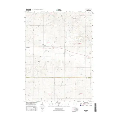
2015 Map of Baldwin
USGS Topo · Published 2015About this map
The Maquoketa River winds through this section of eastern Iowa, defining a landscape of deeply incised valleys and distinct geological formations like the Maquoketa Caves Natural Bridge. The small agricultural communities of Monmouth, Baldwin, Nashville, and Buckhorn serve as the primary hubs of activity, linked by a network of rural roads that cross the varied terrain of Jackson County and Clinton County.
Find a feature on this map
73 named features on this map. Tap any name to fly to it.
Don’t see what you’re looking for? This feature index may not catch every label — zoom into the map to look around manually.
Map Details
Editions of this 2015 Baldwin Map
This is the sole edition of this map. No revisions or reprints were ever made.
Other maps of this area

1891 · DeWitt
USGS Topo · 1:62,500

1891 · Maquoketa
USGS Topo · 1:62,500

1891 · Baldwin
USGS Topo · 1:62,500

1892 · Wheatland
USGS Topo · 1:62,500

1894 · Wheatland
USGS Topo · 1:62,500

1901 · Peosta
USGS Topo · 1:125,000

1901 · Rock Island
USGS Topo · 1:125,000

1910 · Rock Island
USGS Topo · 1:125,000

1958 · Davenport
USGS Topo · 1:250,000

1959 · Dubuque
USGS Topo · 1:250,000