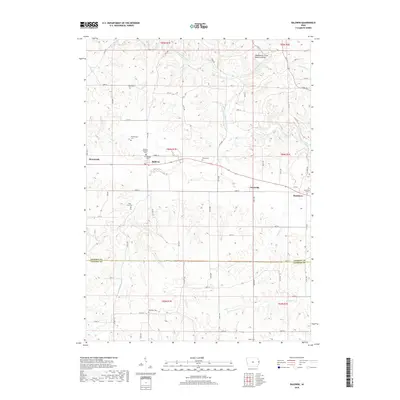
2018 Map of Baldwin
USGS Topo · Published 2018About this map
The Maquoketa River carves a winding path through this corner of eastern Iowa, defining a landscape of bluff-rimmed valleys and upland farms. Near the northern boundary, the Maquoketa Caves Natural Bridge serves as a prominent landmark within a limestone-rich area where Raccoon Cr and Hurstville Br meet the river. The small settlements of Monmouth and Baldwin are established along the East-West road corridor, while smaller localities like Nashville and Buckhorn anchor the surrounding rural sections. This 2018 survey reveals a high density of family and community burial grounds, including the Foley Farm Cem, Hershberger Cem, and Reel Cem, providing essential points of interest for those tracing lineage in the region. The boundary between Jackson Co and Clinton Co cuts across the southern portion of the quadrangle, where the terrain levels out near the headwaters of Pumpkin Cr and Prairie Cr.
Find a feature on this map
73 named features on this map. Tap any name to fly to it.
Don’t see what you’re looking for? This feature index may not catch every label — zoom into the map to look around manually.
Map Details
Editions of this 2018 Baldwin Map
This is the sole edition of this map. No revisions or reprints were ever made.
Other maps of this area

1891 · DeWitt
USGS Topo · 1:62,500

1891 · Maquoketa
USGS Topo · 1:62,500

1891 · Baldwin
USGS Topo · 1:62,500

1892 · Wheatland
USGS Topo · 1:62,500

1894 · Wheatland
USGS Topo · 1:62,500

1901 · Peosta
USGS Topo · 1:125,000

1901 · Rock Island
USGS Topo · 1:125,000

1910 · Rock Island
USGS Topo · 1:125,000

1958 · Davenport
USGS Topo · 1:250,000

1959 · Dubuque
USGS Topo · 1:250,000