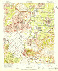
1953 Map of Baldwin Park
USGS Topo · Published 1955About this map
The Santa Fe Flood Control Basin and its massive Santa Fe Dam dominate the northern landscape, reflecting mid-century infrastructure efforts to manage the San Gabriel River. This post-war era shows significant suburban expansion as residential grids begin to fill the spaces between established towns like Baldwin Park, Covina, and West Covina. Transportation is anchored by the Southern Pacific and Pacific Electric lines, which intersect with major thoroughfares like Ramona Blvd and Valley Blvd. Specialized institutions such as the Van Velser Sanitarium School for Physically Handicapped Children and the El Encanto Sanitarium near a cemetery point to a regional concentration of health and social services. To the south, the Puente Hills rise above industrial zones marked by numerous gravel pits, revealing the extractive economy supporting the area's construction boom.
Find a feature on this map
84 named features on this map. Tap any name to fly to it.
Don’t see what you’re looking for? This feature index may not catch every label — zoom into the map to look around manually.
Map Details
Editions of this 1953 Baldwin Park Map
2 editions found
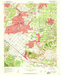
Other maps of this area

1894 · Los Angeles
USGS Topo · 1:62,500

1894 · Pomona
USGS Topo · 1:62,500

1896 · Pasadena
USGS Topo · 1:62,500

1896 · Anaheim
USGS Topo · 1:62,500

1896 · Downey
USGS Topo · 1:62,500

1897 · Pomona
USGS Topo · 1:62,500

1898 · Pomona
USGS Topo · 1:62,500

1898 · Anaheim
USGS Topo · 1:62,500

1899 · Downey
USGS Topo · 1:62,500

1900 · Pasadena
USGS Topo · 1:62,500