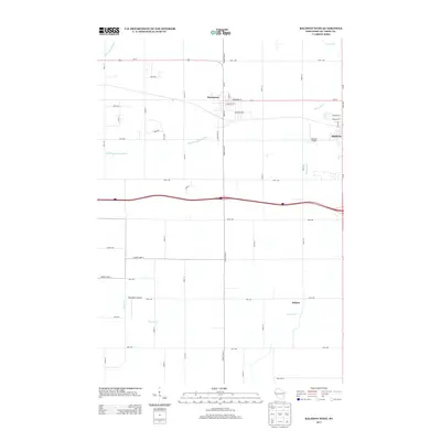
2013 Map of Baldwin West
USGS Topo · Published 2013About this map
Hammond and the western edge of Baldwin anchor this Saint Croix County landscape, showing a transition between established villages and the surrounding agricultural grid. The settlement patterns follow a strict rectangular survey system, bisected by the high-traffic corridor of Interstate 94 and Us-12. Local aviation history is represented by the proximity of Baldwin Airport and the Rush River Airport, providing unique navigation points across the rural terrain.
Find a feature on this map
47 named features on this map. Tap any name to fly to it.
Don’t see what you’re looking for? This feature index may not catch every label — zoom into the map to look around manually.
Map Details
Editions of this 2013 Baldwin West Map
This is the sole edition of this map. No revisions or reprints were ever made.
Other maps of this area

1946 · River Falls
USGS Topo · 1:62,500

1948 · New Richmond
USGS Topo · 1:62,500

1949 · New Richmond
USGS Topo · 1:62,500

1949 · River Falls
USGS Topo · 1:62,500

1949 · Baldwin
USGS Topo · 1:62,500

1950 · Deer Park
USGS Topo · 1:62,500

1953 · Saint Paul
USGS Topo · 1:250,000

1953 · Stillwater
USGS Topo · 1:250,000

1955 · Stillwater
USGS Topo · 1:250,000

1958 · Stillwater
USGS Topo · 1:250,000