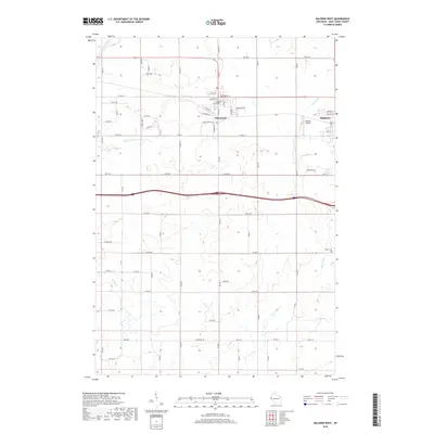
2018 Map of Baldwin West
USGS Topo · Published 2018About this map
The village of Hammond and the western portions of Baldwin define the settled character of this Saint Croix County landscape. Located on the high ground between the upper reaches of the Rush River and the Kinnickinnic River drainage, these communities are connected by a grid of numbered avenues and county highways. The map details the residential and commercial street layouts in both towns, including Broadway Street and Charlotte Street in Hammond, while the surrounding rural areas are marked by significant hydrology such as the South Branch Kinnickinnic River and Parker Creek. Near the eastern edge, the Baldwin Airport sits adjacent to the village, while the Peace Cemetery provides a specific point of interest for genealogists tracking local family histories. The terrain is notably etched by numerous small watercourses and drainage patterns that feed into the larger river systems of western Wisconsin.
Find a feature on this map
44 named features on this map. Tap any name to fly to it.
Don’t see what you’re looking for? This feature index may not catch every label — zoom into the map to look around manually.
Map Details
Editions of this 2018 Baldwin West Map
This is the sole edition of this map. No revisions or reprints were ever made.
Other maps of this area

1946 · River Falls
USGS Topo · 1:62,500

1948 · New Richmond
USGS Topo · 1:62,500

1949 · New Richmond
USGS Topo · 1:62,500

1949 · River Falls
USGS Topo · 1:62,500

1949 · Baldwin
USGS Topo · 1:62,500

1950 · Deer Park
USGS Topo · 1:62,500

1953 · Saint Paul
USGS Topo · 1:250,000

1953 · Stillwater
USGS Topo · 1:250,000

1955 · Stillwater
USGS Topo · 1:250,000

1958 · Stillwater
USGS Topo · 1:250,000