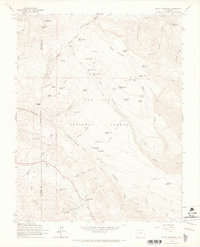
1964 Map of Baldy Mountain
USGS Topo · Published 1967About this map
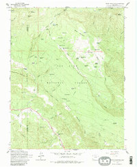
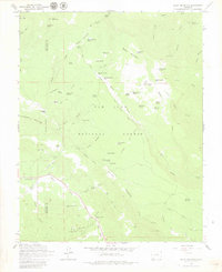
San Juan National Forest defines the high-country character of this mid-century survey, where the boundary between La Plata and Archuleta counties traverses a landscape of summits and springs. The map documents an era of resource extraction and seasonal grazing, evidenced by a series of mines like the Shamrock Mines, Triple S Mine, and Medicine Mine tucked into the drainages. Navigating the terrain relied on a network of routes such as the Pine-Piedra Stock Driveway and the First Fork Trail, which connected high-altitude points like Baldy Mountain to lower meadowlands. Water sources are meticulously noted, from the Beaver Meadow Spring to Hayden Reservoir No 1, highlighting the vital nature of water rights in this mountainous region. Small settlements and camps including Shamrock Ranch and Arbogast Flats appear alongside specialized infrastructure like the Radio Tower, marking the slow introduction of modern technology to the southwestern Colorado wilderness.
Find a feature on this map
75 named features on this map. Tap any name to fly to it.
Don’t see what you’re looking for? This feature index may not catch every label — zoom into the map to look around manually.
Map Details
Editions of this 1964 Baldy Mountain Map
6 editions found
Other maps of this area

1908 · Ignacio
USGS Topo · 1:125,000

1924 · Ignacio
USGS Topo · 1:125,000

1924 · Pagosa Springs
USGS Topo · 1:125,000

1927 · Pagosa Springs
USGS Topo · 1:125,000

1945 · Durango
USGS Topo · 1:250,000

1953 · Durango
USGS Topo · 1:250,000

1954 · Durango
USGS Topo · 1:250,000

1961 · Durango
USGS Topo · 1:250,000

1963 · Durango
USGS Topo · 1:250,000
1964 · Devil Mountain
USGS Topo · 1:24,000