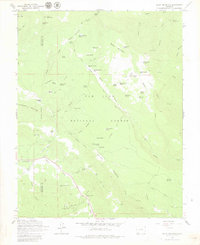
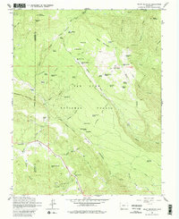
1964 Map of Baldy Mountain
USGS Topo · Published 1980About this map
San Juan National Forest defines this high-country landscape, where the rugged topography of the Colorado mountains is traced by a network of seasonal routes and isolated resource claims. The terrain is marked by numerous high-altitude water sources such as Frying Pan Spring and Moonlick Spring No 2, essential for the livestock and mining operations that once dotted these slopes. Small-scale mining activity is evident at the Shamrock Mines and Triple S Mine near the La Plata and Archuleta county line, while the Columbine Mine sits further east near Ute Park.
Find a feature on this map
72 named features on this map. Tap any name to fly to it.
Don’t see what you’re looking for? This feature index may not catch every label — zoom into the map to look around manually.
Map Details
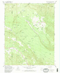
Editions of this 1964 Baldy Mountain Map
6 editions found
Other maps of this area

1908 · Ignacio
USGS Topo · 1:125,000

1924 · Ignacio
USGS Topo · 1:125,000

1924 · Pagosa Springs
USGS Topo · 1:125,000

1927 · Pagosa Springs
USGS Topo · 1:125,000

1945 · Durango
USGS Topo · 1:250,000

1953 · Durango
USGS Topo · 1:250,000

1954 · Durango
USGS Topo · 1:250,000

1961 · Durango
USGS Topo · 1:250,000

1963 · Durango
USGS Topo · 1:250,000
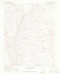
1964 · Devil Mountain
USGS Topo · 1:24,000