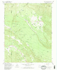
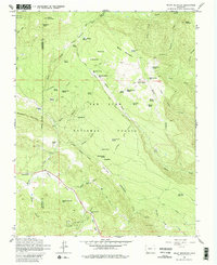
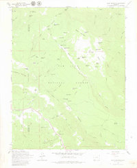
1964 Map of Baldy Mountain
USGS Topo · Published 1980About this map
San Juan National Forest defines this high-altitude landscape along the border of La Plata and Archuleta counties, where a complex network of springs and canyons supported early 20th-century ranching and mining. Cattlemen and prospectors left their mark on the terrain with sites like Shamrock Ranch and the nearby Shamrock Mines. The abundance of water sources, from Frying Pan Spring to Moonlick Spring No 1, highlights the critical importance of reliable water for livestock in the high meadows.
Find a feature on this map
70 named features on this map. Tap any name to fly to it.
Don’t see what you’re looking for? This feature index may not catch every label — zoom into the map to look around manually.
Map Details
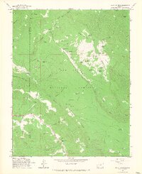
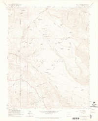
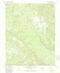
Editions of this 1964 Baldy Mountain Map
6 editions found
Other maps of this area

1908 · Ignacio
USGS Topo · 1:125,000

1924 · Ignacio
USGS Topo · 1:125,000

1924 · Pagosa Springs
USGS Topo · 1:125,000

1927 · Pagosa Springs
USGS Topo · 1:125,000

1945 · Durango
USGS Topo · 1:250,000

1953 · Durango
USGS Topo · 1:250,000

1954 · Durango
USGS Topo · 1:250,000

1961 · Durango
USGS Topo · 1:250,000

1963 · Durango
USGS Topo · 1:250,000
1964 · Devil Mountain
USGS Topo · 1:24,000