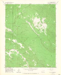
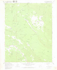
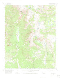
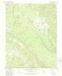
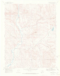
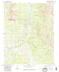
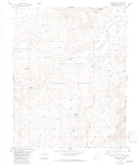
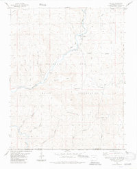
1964 Map of Baldy Mountain
USGS Topo · Published 1967This historical map portrays the area of Baldy Mountain in 1964, primarily covering Archuleta County as well as portions of La Plata County. Featuring a scale of 1:24000, this map provides a highly detailed snapshot of the terrain, roads, buildings, counties, and historical landmarks in the Baldy Mountain region at the time. Published in 1967, it is one of 6 known editions of this map due to revisions or reprints.
Find a feature on this map
74 named features on this map. Tap any name to fly to it.
Don’t see what you’re looking for? This feature index may not catch every label — zoom into the map to look around manually.
Map Details
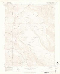
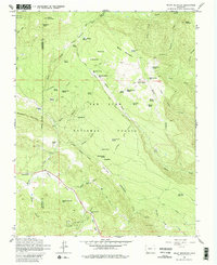
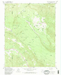
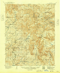
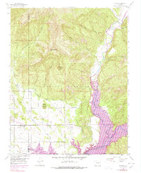
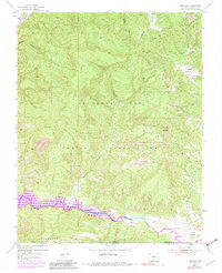
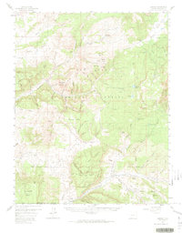
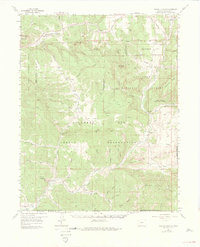
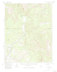
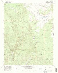
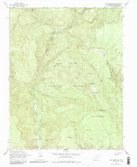
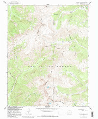
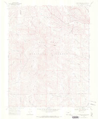
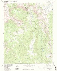
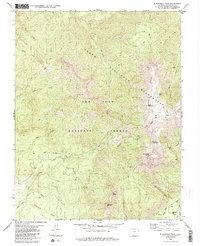
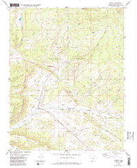
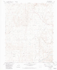
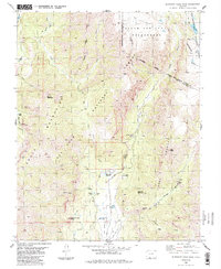
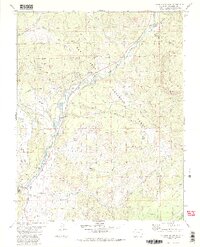
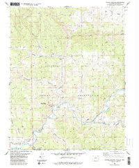
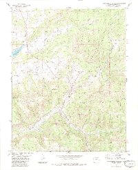
Editions of this 1964 Baldy Mountain Map
6 editions found
Historical Maps of La Plata County Through Time
29 maps found

1913 Summitville
Archuleta County, CO
1915 Summitville
Archuleta County, CO
1954 Allison
Archuleta County, CO
1954 Carracas
Archuleta County, CO
1957 Chama Peak
Archuleta County, CO
1957 Chromo
Archuleta County, CO
1957 Pagosa Junction
Archuleta County, CO
1957 Wolf Creek Pass
Archuleta County, CO
1964 Baldy Mountain
Archuleta County, CO
1964 Chris Mountain
Archuleta County, CO
1964 Devil Mountain
Archuleta County, CO
1966 Summit Peak
Archuleta County, CO
1968 Chimney Rock
Archuleta County, CO
1968 Pargin Mountain
Archuleta County, CO
1984 Archuleta Creek
Archuleta County, CO
1984 Blackhead Peak
Archuleta County, CO
1984 Chama Peak
Archuleta County, CO
1984 Chromo
Archuleta County, CO
1984 Edith
Archuleta County, CO
1984 Elephant Head Rock
Archuleta County, CO
1984 Harris Lake
Archuleta County, CO
1984 Jackson Mountain
Archuleta County, CO

1984 Lonetree Canyon
Archuleta County, CO

1984 Oak Brush Hill
Archuleta County, CO
1984 Pagosa Junction
Archuleta County, CO
1984 Serviceberry Mountain
Archuleta County, CO
1984 Trujillo
Archuleta County, CO
2001 Archuleta Creek
Archuleta County, CO
2001 Summit Peak
Archuleta County, CO