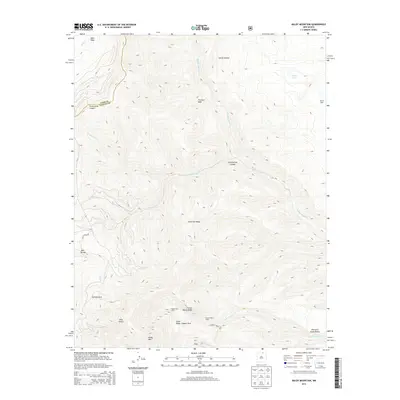
2013 Map of Baldy Mountain
USGS Topo · Published 2013About this map
Baldy Mtn and the surrounding high-altitude terrain of the Cimarron Range dominate this northern New Mexico landscape, which straddles the boundary between Taos and Colfax counties. The area is defined by its legacy of backcountry recreation and historic industry, notably within the Philmont Scout Ranch and the Valle Vidal unit. Traces of mining and camping history are evident at sites like Copper Park Camp, French Henry Camp, and Aztec Ridge. Waterways such as Middle Ponil Cr and South Ponil Cr carve through deep canyons like Greenwood Canyon and Seally Canyon. The presence of French Henry Rd and F R 1910 provides a sense of the limited access to this high country, while landmarks like The Rock Wall and Beatty Cabin serve as important navigational points for those retracing the historical footprints of this mountain wilderness.
Find a feature on this map
26 named features on this map. Tap any name to fly to it.
Don’t see what you’re looking for? This feature index may not catch every label — zoom into the map to look around manually.
Map Details
Editions of this 2013 Baldy Mountain Map
This is the sole edition of this map. No revisions or reprints were ever made.
Other maps of this area

1954 · Raton
USGS Topo · 1:250,000

1955 · Ute Park
USGS Topo · 1:62,500

1958 · Raton
USGS Topo · 1:250,000

1962 · Ash Mountain
USGS Topo · 1:62,500

1963 · Eagle Nest
USGS Topo · 1:24,000

1963 · Red River Pass
USGS Topo · 1:24,000

1963 · Comanche Point
USGS Topo · 1:24,000

1982 · Wheeler Peak
USGS Topo · 1:100,000
1986 · Van Bremmer Park
USGS Topo · 1:24,000
1986 · Ash Mountain
USGS Topo · 1:24,000