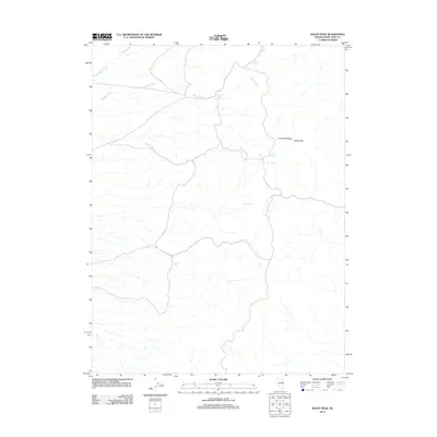
2012 Map of Baldy Peak
USGS Topo · Published 2012About this map
Baldy Peak and the high terrain of the Antelope Range define this high-altitude corner of White Pine County. The landscape is characterized by its vital water sources, as numerous springs are distributed across the arid slopes. Notable water points including Grassy Spring, Middle Creek Spring, North Spring, and Top Spring suggest the critical importance of reliable water for land management and livestock in this part of Nevada. Drainage patterns are established by several intermittent streams such as Spring Valley Creek, Middle Creek, and Sharp Creek, which flow through the basin and range topography. The map illustrates a remote environment where geographical names are almost exclusively tied to the physical landscape and the scarce hydrology essential for survival and navigation in the Great Basin.
Find a feature on this map
11 named features on this map. Tap any name to fly to it.
Don’t see what you’re looking for? This feature index may not catch every label — zoom into the map to look around manually.
Map Details
Editions of this 2012 Baldy Peak Map
This is the sole edition of this map. No revisions or reprints were ever made.
Other maps of this area

1955 · Elko
USGS Topo · 1:250,000

1956 · Ely
USGS Topo · 1:250,000

1958 · Elko
USGS Topo · 1:250,000

1959 · Ely
USGS Topo · 1:250,000

1962 · Elko
USGS Topo · 1:250,000

1963 · Ely
USGS Topo · 1:250,000

1965 · Elko
USGS Topo · 1:250,000

1979 · Sunset Reservoir
USGS Topo · 1:24,000

1982 · Chin Creek Spring
USGS Topo · 1:24,000
1982 · Becky Peak
USGS Topo · 1:24,000